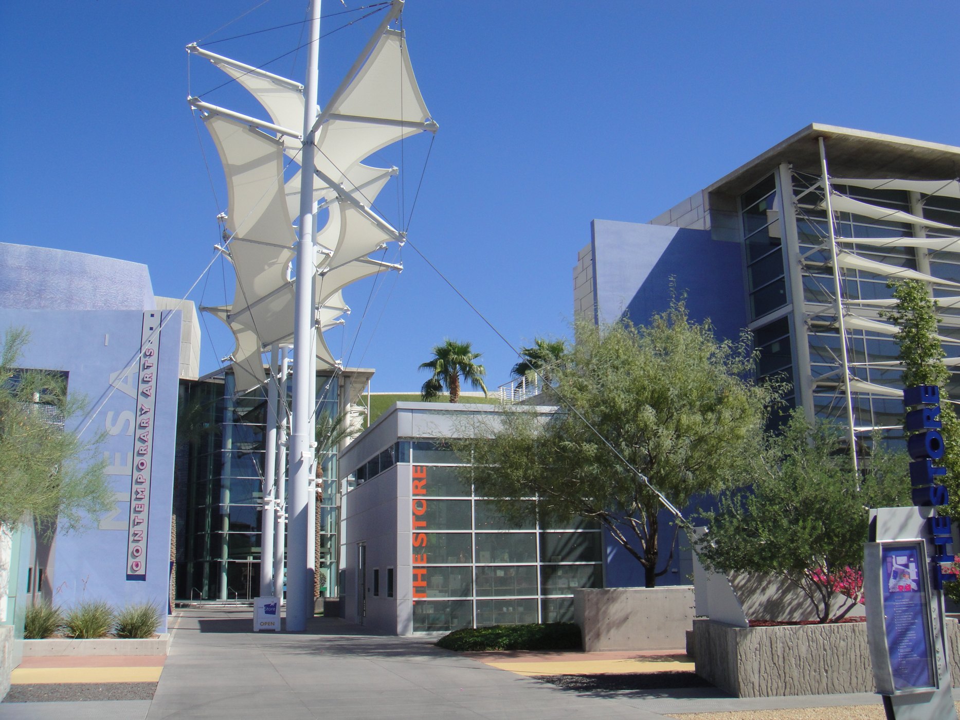
Contemporary entrance at the Mesa Arts Center

Outdoors

Picnic spots near Mesa

Day-use and picnic areas near Mesa on public land, from quick drives to full-day outings.

15picnic areas
15 mito the closest
1within 30 miles
November–Aprilbest months

Good to know: Group picnic sites can often be reserved; fire rules change with the season, so check before bringing a grill.

Closest picks

1

WestWorld

15 mi north · Bureau of Reclamation

WestWorld is located in north Scottsdale at the base of the McDowell Mountains. Surrounded by the Sonoran Desert with over 360 acres of pristine landscaping, the covered Equidome Arena, Brett's Barn, and state-of-the-art equine facilities…
2

Casa Grande Ruins National Monument

34 mi southeast · National Park Service

An Ancestral Sonoran Desert People's farming community and "Great House" are preserved at Casa Grande Ruins.

3

Black Canyon National Recreation Trail

38 mi northwest · Bureau of Land Management

The 80-mile Black Canyon Trail provides visitors with a long-range backcountry trail riding, mountain biking, and hiking opportunity.

Map of all 15 places

Map of 15 places loads as you scroll.

Within 30 miles (1)

15 mi north · Bureau of Reclamation

WestWorld

WestWorld is located in north Scottsdale at the base of the McDowell Mountains. Surrounded by the Sonoran Desert with over 360 acres of pristine landscaping, the covered Equidome Arena, Brett's Barn, and state-of-the-art equine facilities…

  • Hiking
  • Horseback riding
  • Picnicking
  • Recreational Vehicles

30 to 75 miles (14)

34 mi southeast · National Park Service

Casa Grande Ruins National Monument

An Ancestral Sonoran Desert People's farming community and "Great House" are preserved at Casa Grande Ruins.

  • History
  • Picnicking

38 mi northwest · Bureau of Land Management

Black Canyon National Recreation Trail

The 80-mile Black Canyon Trail provides visitors with a long-range backcountry trail riding, mountain biking, and hiking opportunity.

  • Accessible Facility Or Activity
  • Camping
  • Hiking
  • Horseback riding
  • Mountain Biking
  • Picnicking
  • Wildlife viewing

38 mi east · USDA Forest Service · Campground

Burnt Corral Campground

Burnt Corral Campground and Recreation Area (elevation 1914') is about 5.8 miles south of Roosevelt Dam along the Apache Trail (AZ Hwy 88) along the shoreline of Apache Lake.

  • Biking
  • Boating
  • Camping
  • Fishing
  • Hiking
  • Paddling
  • Photography
  • Picnicking

39 mi northwest · USDA Forest Service

Tonto National Forest

  • Biking
  • Boating
  • Camping
  • Climbing
  • Fishing
  • Hiking
  • Horse Camping
  • Horseback riding

42 mi northeast · USDA Forest Service · Campground

Cholla Campground

Cholla Campground at Roosevelt Lake, is one of several campgrounds on the shores of the largest lake/reservoir located entirely in the State of Arizona. It is situated within a lush sonoran desert landscape at an elevation of 2168'.

  • Biking
  • Boating
  • Camping
  • Canoeing
  • Fishing
  • Hiking
  • Kayaking
  • Paddling

42 mi northwest · Bureau of Reclamation

Lake Pleasant

This newly expanded reservoir has 114 miles of shoreline for family recreation uses. The reservoir boasts a 10-lane boat ramp; parking for 200 vehicles. Recreational facilities concentrated primarily on the reservoir's western shore.

  • Biking
  • Boating
  • Camping
  • Fishing
  • Hiking
  • History
  • Off-highway vehicles
  • Picnicking

43 mi northeast · USDA Forest Service · Campground

Frazier Horse Campground

The Frazier Horse Campground is nestled into a Sonoran desert landscape at Roosevelt Lake, one of Arizona's most outstanding water-based recreation areas.

  • Camping
  • Horse Camping
  • Horseback riding
  • Photography
  • Picnicking
  • Water Access
  • Wildlife viewing

44 mi east · National Park Service

Tonto National Monument

Located within the northern range of the Sonoran Desert lie two cliff dwellings that were occupied from 1300-1450 CE (common era). They represent a vibrant culture consisting of local and immigrant groups that lived in the Tonto Basin.

  • Hiking
  • Picnicking

45 mi southwest · Bureau of Land Management

Estrella Wayside Recreation Area

The Estrella Wayside Recreation Area is in the Sonoran Desert National Monument . The area includes parking, picnic tables, grills, and fire rings just off Maricopa Road. Four primitive campsites are north of Maricopa Road off route 8002B.

  • Accessible Facility Or Activity
  • Bird Watching
  • Camping
  • Dispersed Camping
  • Hiking
  • Historic Sites
  • Horseback riding
  • Picnicking

46 mi east · USDA Forest Service · Campground

Windy Hill Campground

Located on central Arizona's largest lake, Windy Hill offers great water recreation opportunities to the public.

  • Boating
  • Camping
  • Canoeing
  • Fishing
  • Hiking
  • Kayaking
  • Paddling
  • Photography

49 mi east · USDA Forest Service · Campground

Schoolhouse Campground (AZ)

Schoolhouse Campground is located in close proximity to the eastern shores of Roosevelt Lake with an elevation of 2,100 feet.

  • Amphitheater
  • Biking
  • Boating
  • Camping
  • Canoeing
  • Fishing
  • Hiking
  • Kayaking

51 mi southwest · Bureau of Land Management

Lava Flow Trail

In the Table Top Wilderness within the Sonoran Desert National Monument, the Lava Flow Trail offers a hiking opportunity of light to moderate difficulty in a varied and dramatic Sonoran Desert landscape.

  • Hiking
  • Horseback riding
  • Picnicking
  • Wilderness
  • Wildlife viewing

53 mi south · Bureau of Land Management

Table Top Trail

Table Top Trail, in the 34,400-acre Table Top Wilderness , takes visitors from the floor of Vekol Valley (elevation 2,299 feet) to the summit of Table Top Mountain (elevation 4,356 feet) in just 3.5 miles.

  • Camping
  • Camping Area
  • Hiking
  • Picnicking
  • Wilderness
  • Wildlife viewing

68 mi east · Bureau of Land Management

Gila River Recreation Area

The Gila River recreation area is located along the Gila River and Arizona State Route (SR) 77 between the Town of Winkelman and Globe in Gila County, Arizona.

  • Boating
  • Camping
  • Camping Area
  • Canoeing
  • Fish Viewing Site
  • Fishing
  • Picnicking
  • Water Access

Distances are straight-line miles from downtown Mesa. Listings come from Recreation.gov’s federal recreation database; check each official page for hours, fees, fire restrictions and closures before you go.

Get outside around Mesa

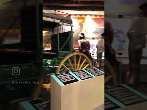
📍Arizona Museum of Natural History Mesa, AZ video thumbnail

THINGS TO DO · YOUTUBE SHORT

📍Arizona Museum of Natural History Mesa, AZ

A local activity Short shared by thekeenecrew.

Watch on YouTube ↗
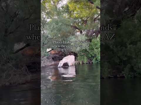
Places I take my friends when they visit Mesa, AZ video thumbnail

THINGS TO DO · YOUTUBE SHORT

Places I take my friends when they visit Mesa, AZ

A local activity Short shared by Meredith Johnsen.

Watch on YouTube ↗

Around Mesa

Idea Museum, Mesa
Idea MuseumKirs10 · CC BY-SA 3.0
Mesa-Building-Nile Theater-1924
Mesa-Building-Nile Theater-1924Marine 69-71 · CC BY-SA 4.0
Mesa-Building-Pomeroy Buildig-1891
Mesa-Building-Pomeroy Buildig-1891Marine 69-71 · CC BY-SA 4.0

More outdoors near Mesa

Questions

Where is the closest place for picnic spots near Mesa?

WestWorld (Bureau of Reclamation), about 15 miles north of Mesa as the crow flies. Next are Casa Grande Ruins National Monument (34 mi) and Black Canyon National Recreation Trail (38 mi).

When is the best time for picnic spots near Mesa?

Based on Mesa’s average highs, November–April. Conditions at higher elevations can be much cooler.

Who manages these places?

Federal agencies including USDA Forest Service, Bureau of Land Management, Bureau of Reclamation. Each listing links to its official page for hours, fees, closures and current conditions.

Mesa AI

Your Mesa local guide
Hey there!

I'm Mesa AI. Ask about neighborhood food, independent shops, local history or planning a visit.

AI recommendations may be inaccurate. Verify hours and prices. Questions are processed by Cloudflare. Privacy