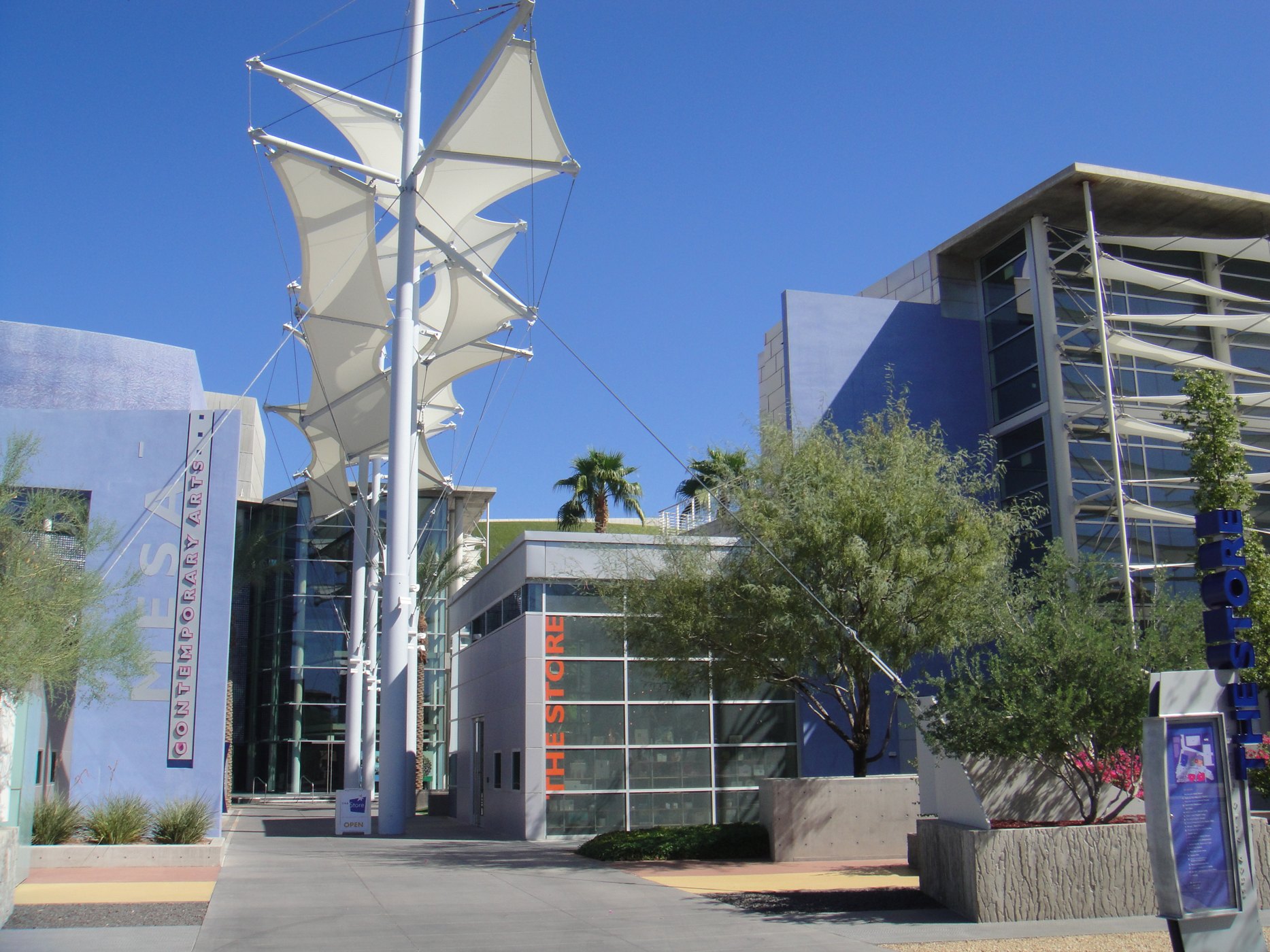
Contemporary entrance at the Mesa Arts Center

Outdoors

Boating and kayaking near Mesa

Lakes, reservoirs and rivers near Mesa for boating, kayaking, canoeing and paddleboarding.

13places to boat and paddle
29 mito the closest
1within 30 miles
October–Maybest months

Good to know: Life jackets are required for children on most waters, and many lakes require an invasive-species inspection or a launch fee.

Closest picks

1

Riverside Campground (AZ)

29 mi north · USDA Forest Service

Riverside Campground offers more peace and tranquility than the busier recreation sites at Bartlett Lake. With the campground’s proximity to water, fisherman and avid water recreationalists enjoy this spot all year long.
2

Burnt Corral Campground

38 mi east · USDA Forest Service

Burnt Corral Campground and Recreation Area (elevation 1914') is about 5.8 miles south of Roosevelt Dam along the Apache Trail (AZ Hwy 88) along the shoreline of Apache Lake.

3

Mesquite (AZ)

38 mi north · USDA Forest Service

Mesquite Campground provides privacy and shade. Here you can relax under the shaded canopies of mesquite trees while listening to the sounds of water flowing from the Verde River just a short distance from your site.

Map of all 13 places

Map of 13 places loads as you scroll.

Within 30 miles (1)

29 mi north · USDA Forest Service · Campground

Riverside Campground (AZ)

Riverside Campground offers more peace and tranquility than the busier recreation sites at Bartlett Lake. With the campground’s proximity to water, fisherman and avid water recreationalists enjoy this spot all year long.

  • Birding
  • Camping
  • Canoeing
  • Non-Motorized Boating
  • Photography
  • Wildlife viewing

30 to 75 miles (12)

38 mi east · USDA Forest Service · Campground

Burnt Corral Campground

Burnt Corral Campground and Recreation Area (elevation 1914') is about 5.8 miles south of Roosevelt Dam along the Apache Trail (AZ Hwy 88) along the shoreline of Apache Lake.

  • Biking
  • Boating
  • Camping
  • Fishing
  • Hiking
  • Paddling
  • Photography
  • Picnicking

38 mi north · USDA Forest Service · Campground

Mesquite (AZ)

Mesquite Campground provides privacy and shade. Here you can relax under the shaded canopies of mesquite trees while listening to the sounds of water flowing from the Verde River just a short distance from your site.

  • Camping
  • Canoeing
  • Fishing
  • Hiking
  • Kayaking
  • Off Road Vehicle Trails
  • Paddling
  • Photography

39 mi north · USDA Forest Service · Campground

Horseshoe (AZ)

Horseshoe Campground is farther up the road from Mesquite Campground. Offering more developed campground sites with picnic tables, fire pits and access to the Verde River at campsites 11 and 12.

  • Birding
  • Camping
  • Canoeing
  • Fishing
  • Kayaking
  • Non-Motorized Boating
  • Off Road Vehicle Trails
  • Paddling

39 mi northwest · USDA Forest Service

Tonto National Forest

  • Biking
  • Boating
  • Camping
  • Climbing
  • Fishing
  • Hiking
  • Horse Camping
  • Horseback riding

42 mi northeast · USDA Forest Service · Campground

Cholla Campground

Cholla Campground at Roosevelt Lake, is one of several campgrounds on the shores of the largest lake/reservoir located entirely in the State of Arizona. It is situated within a lush sonoran desert landscape at an elevation of 2168'.

  • Biking
  • Boating
  • Camping
  • Canoeing
  • Fishing
  • Hiking
  • Kayaking
  • Paddling

42 mi northwest · Bureau of Reclamation

Lake Pleasant

This newly expanded reservoir has 114 miles of shoreline for family recreation uses. The reservoir boasts a 10-lane boat ramp; parking for 200 vehicles. Recreational facilities concentrated primarily on the reservoir's western shore.

  • Biking
  • Boating
  • Camping
  • Fishing
  • Hiking
  • History
  • Off-highway vehicles
  • Picnicking

43 mi northeast · USDA Forest Service · Campground

Frazier Group Campground

The campground overlooks Roosevelt Lake and is nestled in the saguaro cactus-studded Sonoran Desert.

  • Biking
  • Boating
  • Camping
  • Fishing
  • Hiking
  • Horseback riding
  • Wildlife viewing

46 mi east · USDA Forest Service · Campground

Windy Hill Campground

Located on central Arizona's largest lake, Windy Hill offers great water recreation opportunities to the public.

  • Boating
  • Camping
  • Canoeing
  • Fishing
  • Hiking
  • Kayaking
  • Paddling
  • Photography

47 mi east · USDA Forest Service · Campground

Grapevine Group Campground

Groups are drawn to Grapevine Campground's unique setting and expansive facilities.

  • Biking
  • Boating
  • Camping
  • Hiking
  • Wildlife viewing

49 mi east · USDA Forest Service · Campground

Schoolhouse Campground (AZ)

Schoolhouse Campground is located in close proximity to the eastern shores of Roosevelt Lake with an elevation of 2,100 feet.

  • Amphitheater
  • Biking
  • Boating
  • Camping
  • Canoeing
  • Fishing
  • Hiking
  • Kayaking

58 mi northwest · USDA Forest Service · Campground

Horsethief Cabin

Horsethief Cabin is situated in a clearing of Ponderosa pines at an elevation of over 6,000 feet in the Bradshaw Mountains of the Prescott National Forest.

  • Biking
  • Boating
  • Camping
  • Fishing
  • Hiking
  • Hunting
  • Wildlife viewing

68 mi east · Bureau of Land Management

Gila River Recreation Area

The Gila River recreation area is located along the Gila River and Arizona State Route (SR) 77 between the Town of Winkelman and Globe in Gila County, Arizona.

  • Boating
  • Camping
  • Camping Area
  • Canoeing
  • Fish Viewing Site
  • Fishing
  • Picnicking
  • Water Access

Distances are straight-line miles from downtown Mesa. Listings come from Recreation.gov’s federal recreation database; check each official page for hours, fees, fire restrictions and closures before you go.

Get outside around Mesa

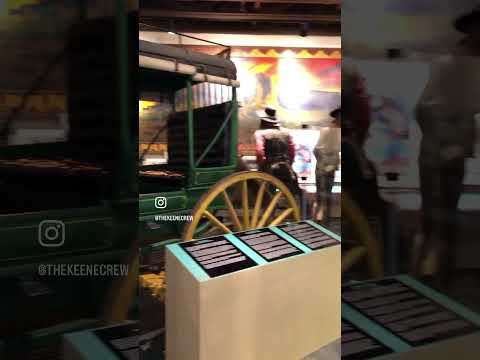
📍Arizona Museum of Natural History Mesa, AZ video thumbnail

THINGS TO DO · YOUTUBE SHORT

📍Arizona Museum of Natural History Mesa, AZ

A local activity Short shared by thekeenecrew.

Watch on YouTube ↗
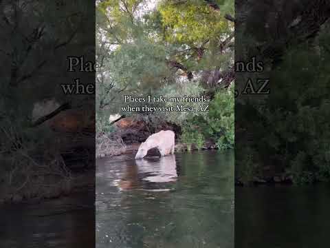
Places I take my friends when they visit Mesa, AZ video thumbnail

THINGS TO DO · YOUTUBE SHORT

Places I take my friends when they visit Mesa, AZ

A local activity Short shared by Meredith Johnsen.

Watch on YouTube ↗

Around Mesa

Mesa-Post Office-Federal Building-1937
Mesa-Post Office-Federal Building-1937Tony the Marine ( talk ) · CC BY-SA 3.0
Old movie theater- what thrives and still gets attention is what looms over it., Mesa
Old movie theater- what thrives and still gets attention is what looms over it. (8470373056)cogdogblog · CC BY 2.0
Idea Museum, Mesa
Idea MuseumKirs10 · CC BY-SA 3.0

More outdoors near Mesa

Questions

Where is the closest place for boating & paddling near Mesa?

Riverside Campground (AZ) (USDA Forest Service), about 29 miles north of Mesa as the crow flies. Next are Burnt Corral Campground (38 mi) and Mesquite (AZ) (38 mi).

When is the best time for boating & paddling near Mesa?

Based on Mesa’s average highs, October–May. Conditions at higher elevations can be much cooler.

Who manages these places?

Federal agencies including USDA Forest Service, Bureau of Reclamation, Bureau of Land Management. Each listing links to its official page for hours, fees, closures and current conditions.

Mesa AI

Your Mesa local guide
Hey there!

I'm Mesa AI. Ask about neighborhood food, independent shops, local history or planning a visit.

AI recommendations may be inaccurate. Verify hours and prices. Questions are processed by Cloudflare. Privacy